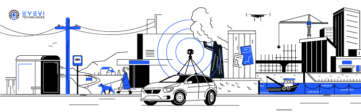
EyeVi offers an on-demand mapping technology – an AI-based full mobile mapping solution for capturing and processing high accuracy geodata cost-effectively and fast.
Our product consists of a sensor-agnostic car-mounted mapping hardware set and a software package that includes automatic feature recognition and data processing. The AI-powered and automated 3D mapping platform allows road consultants and asset managers to have a constant overview of the physical road network in maximum detail. This helps to eliminate bottlenecks in predictive maintenance, traffic management, and safety auditing.
Key Benefits
Scalability – once collected, the data can be used for a variety of purposes, such as a benchmark for future surveys or to detect also other features in the data than those for which it was collected.
Cost-effectiveness – the data capture and processing are sped up, saving time and money. In addition, further costs are reduced or even brought to zero. Using EyeVi’s solution, the CapEx is zero and OPEX reduced up to 30%.
Target Groups
-
- Road survey and inspection agencies
- Infrastructure asset managers
- GIS/IT solutions companies
- Engineering, consulting, and design firms
Clients
XAIS Asset Management, Triona, GIAP, Ginger, Ramboll, Autori, Teede Tehnokeskus, Hepta, Auvetech
Value created
In comparison to manual image digitization or site mapping, EyeVi’s solution saves 50% in labor costs while achieving 10% higher accuracy.
Case study
Watch video.
Contacts
Ülari Teder
Sales Director
+372 5555 8989
ulari.teder@eyevi.tech
www.eyevi.tech